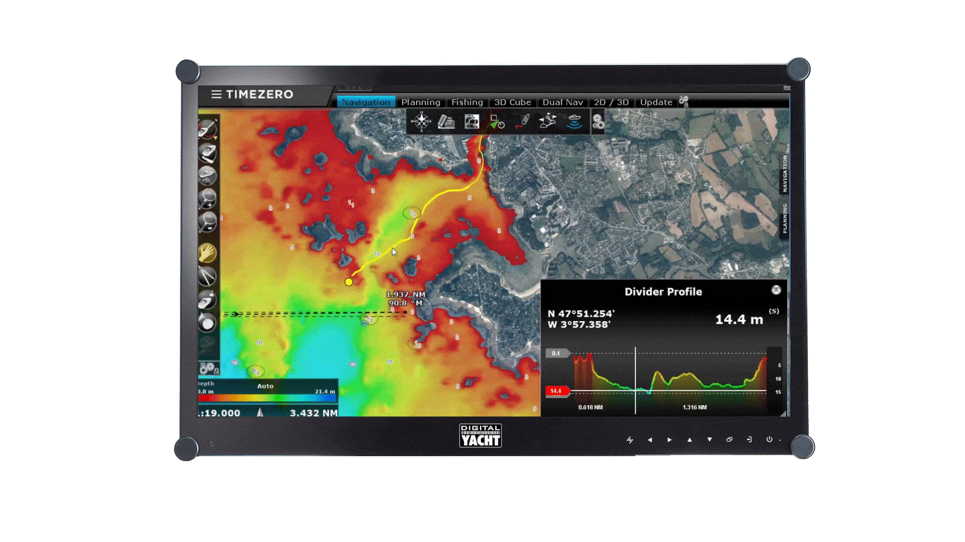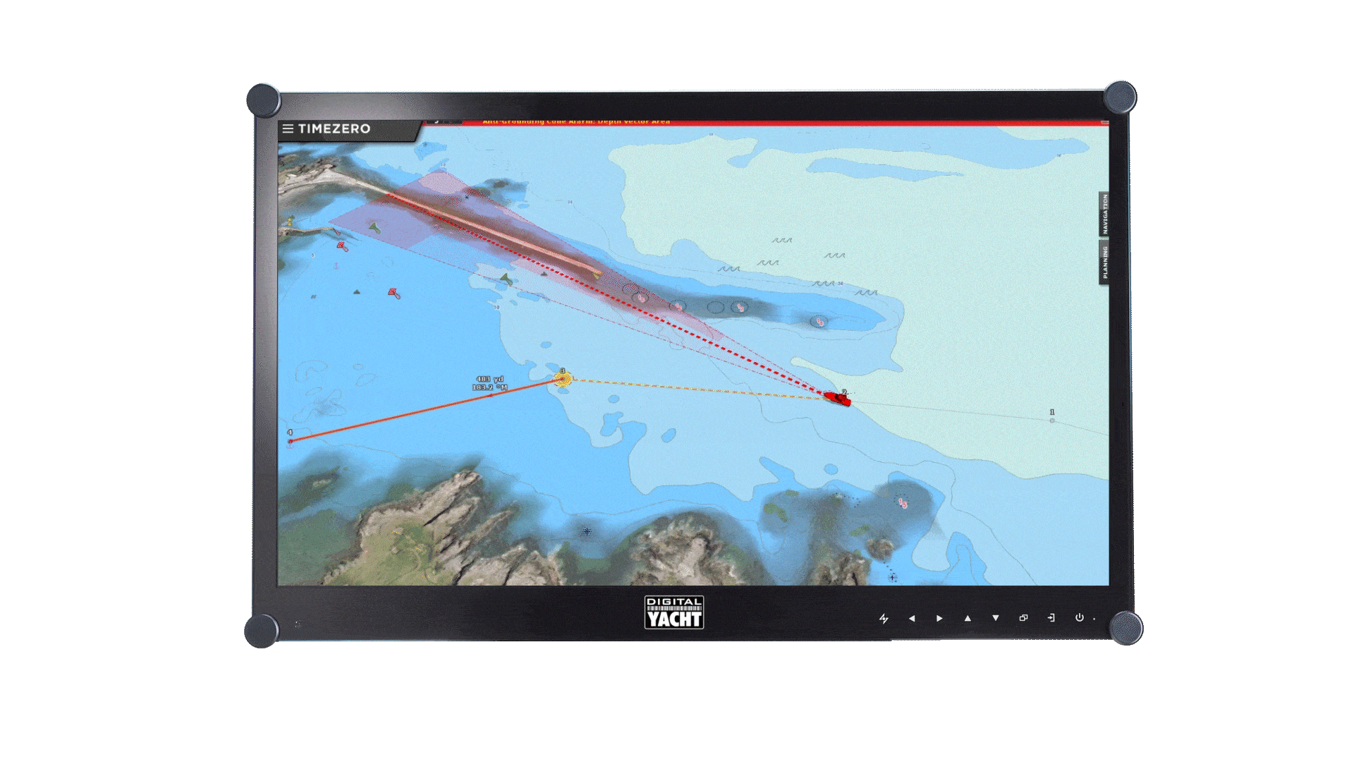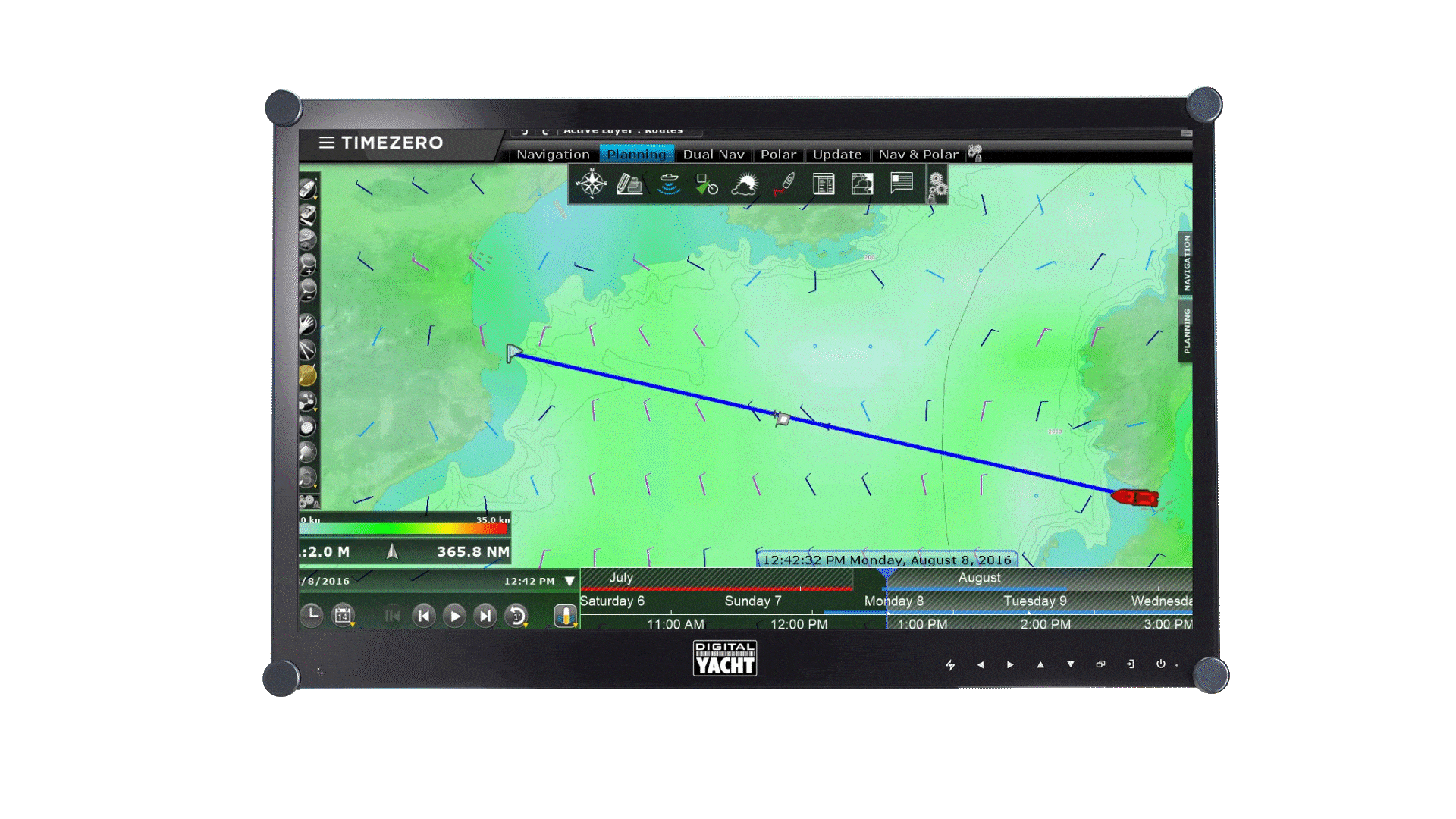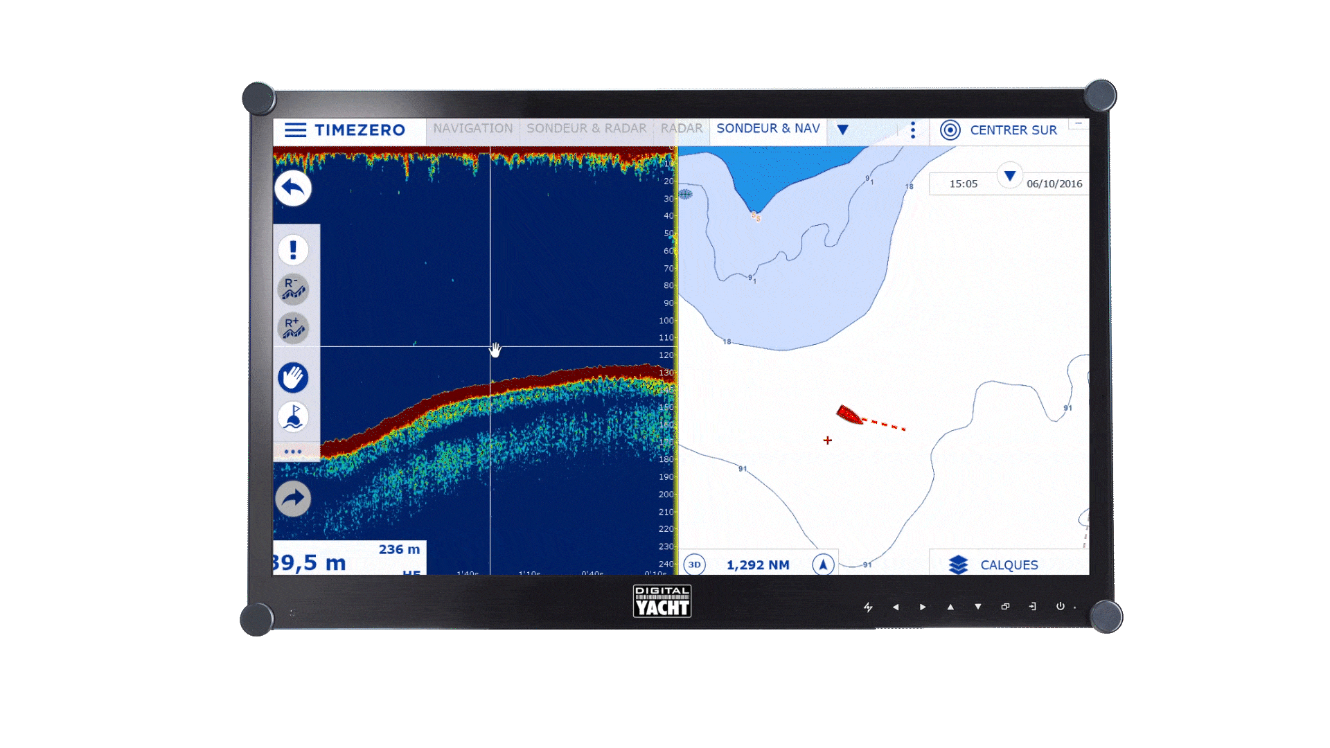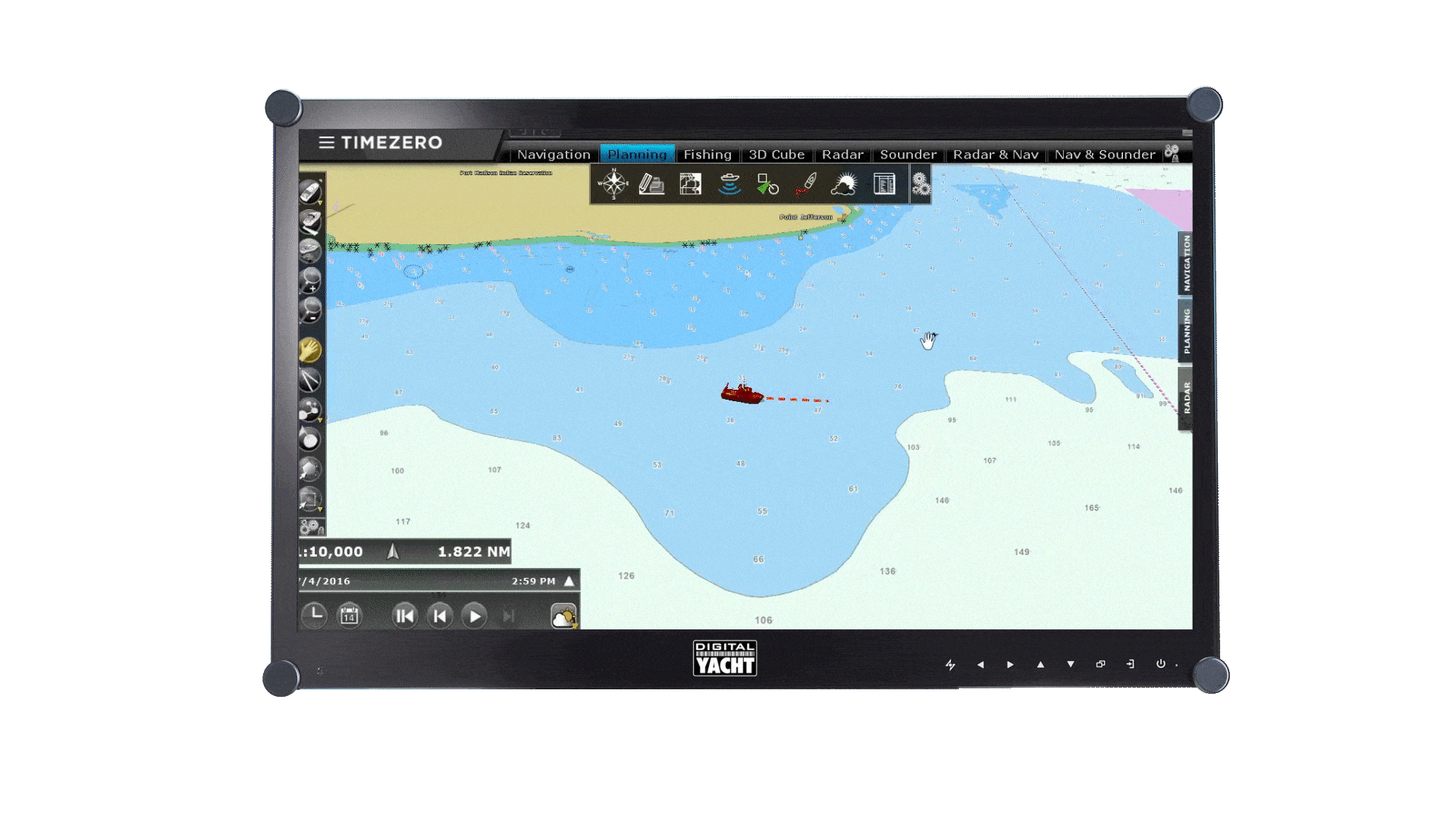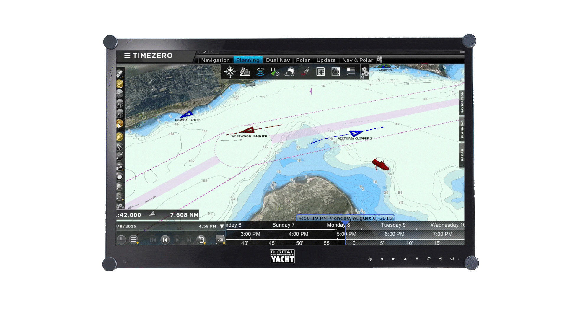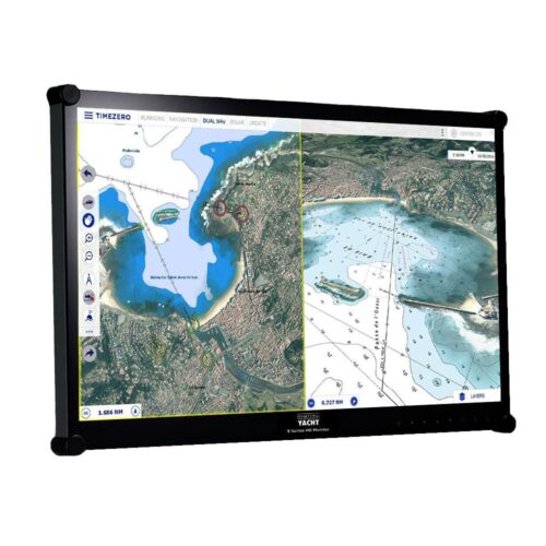
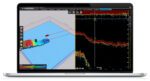
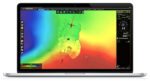

Timezero Professional is a high-performance marine navigation solution engineered to meet the rigorous demands of professional seafarers. Equipped with industry-leading charting technology and an extensive suite of advanced features, the software delivers precise situational awareness, seamless route planning, and optimized vessel management.
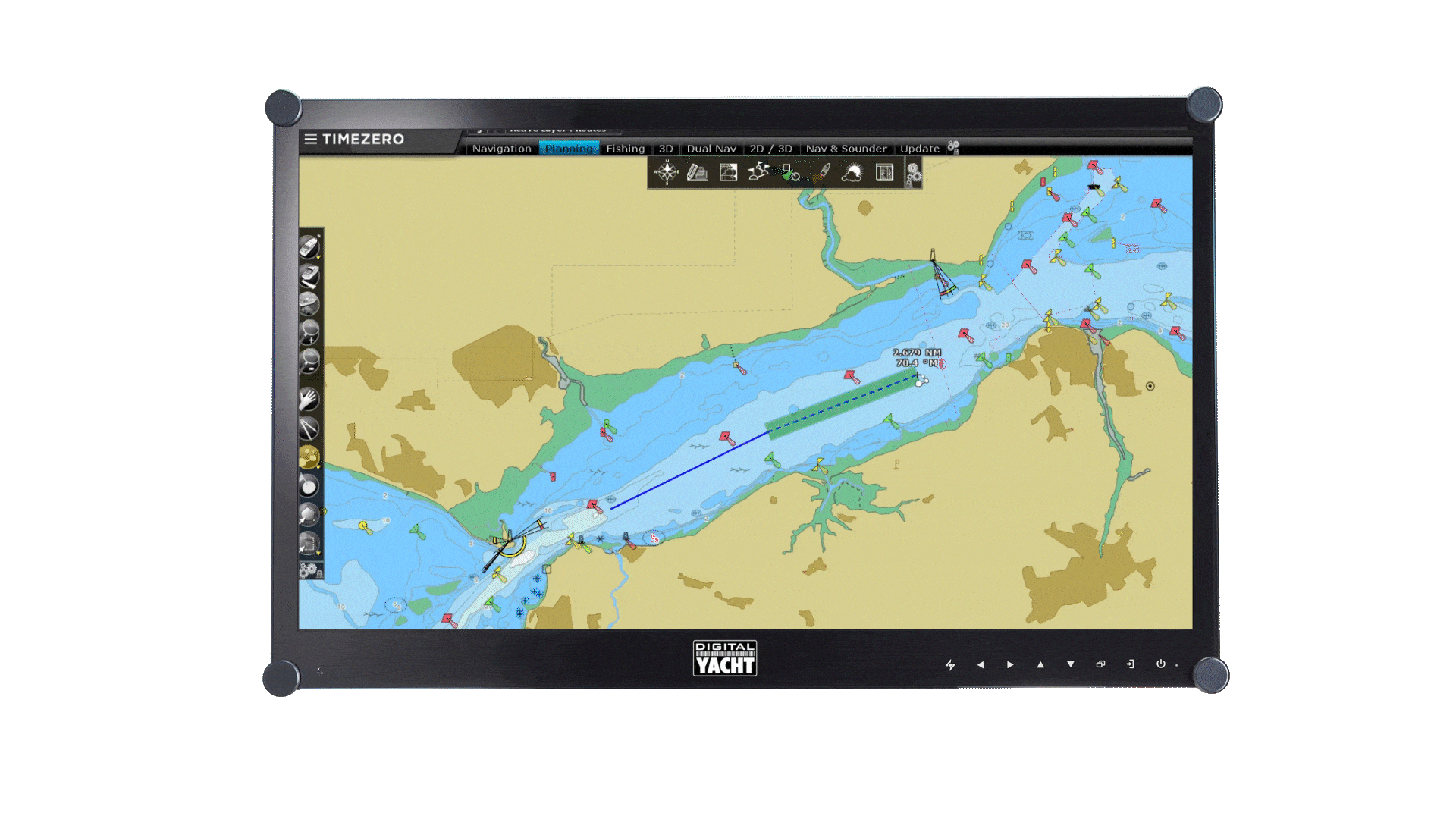
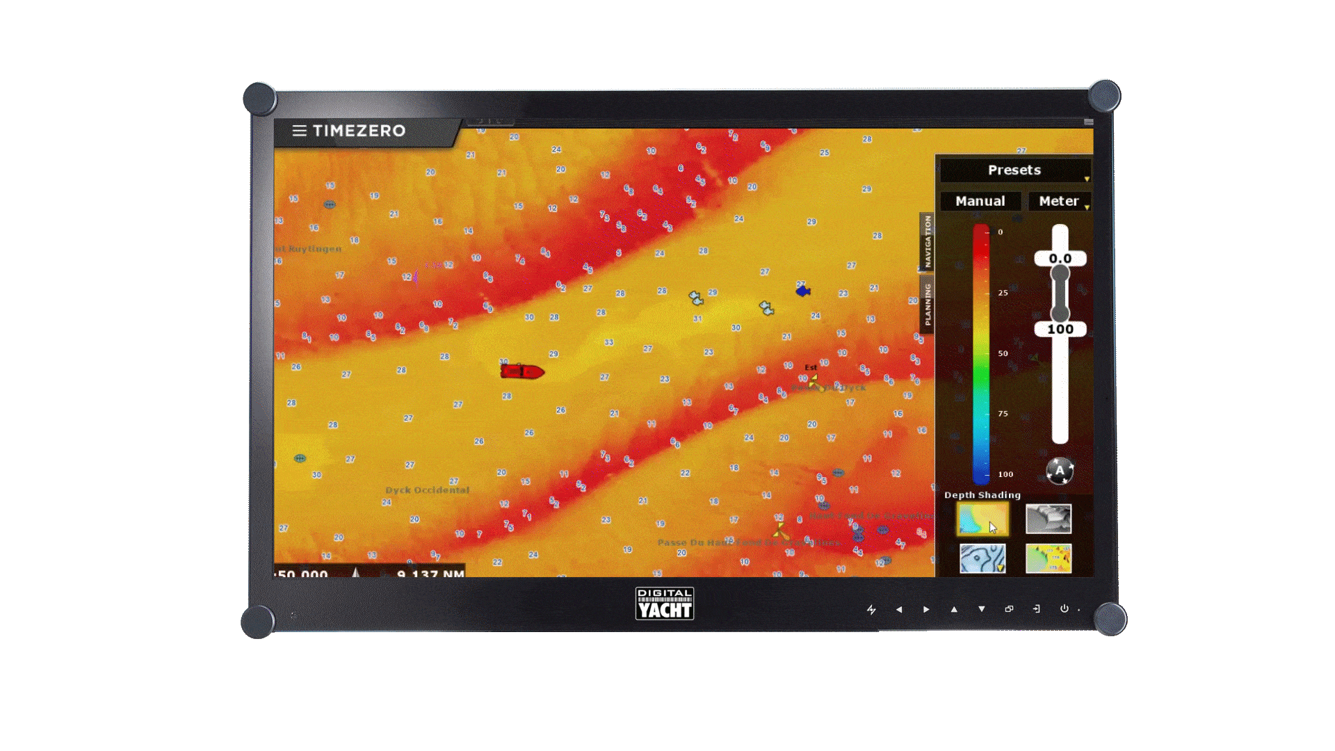
The user interface of TZ Professional is intuitive and easy to use when it comes to managing all your navigation data as well as all the other features which have made Timezero a huge success for more than 30 years.
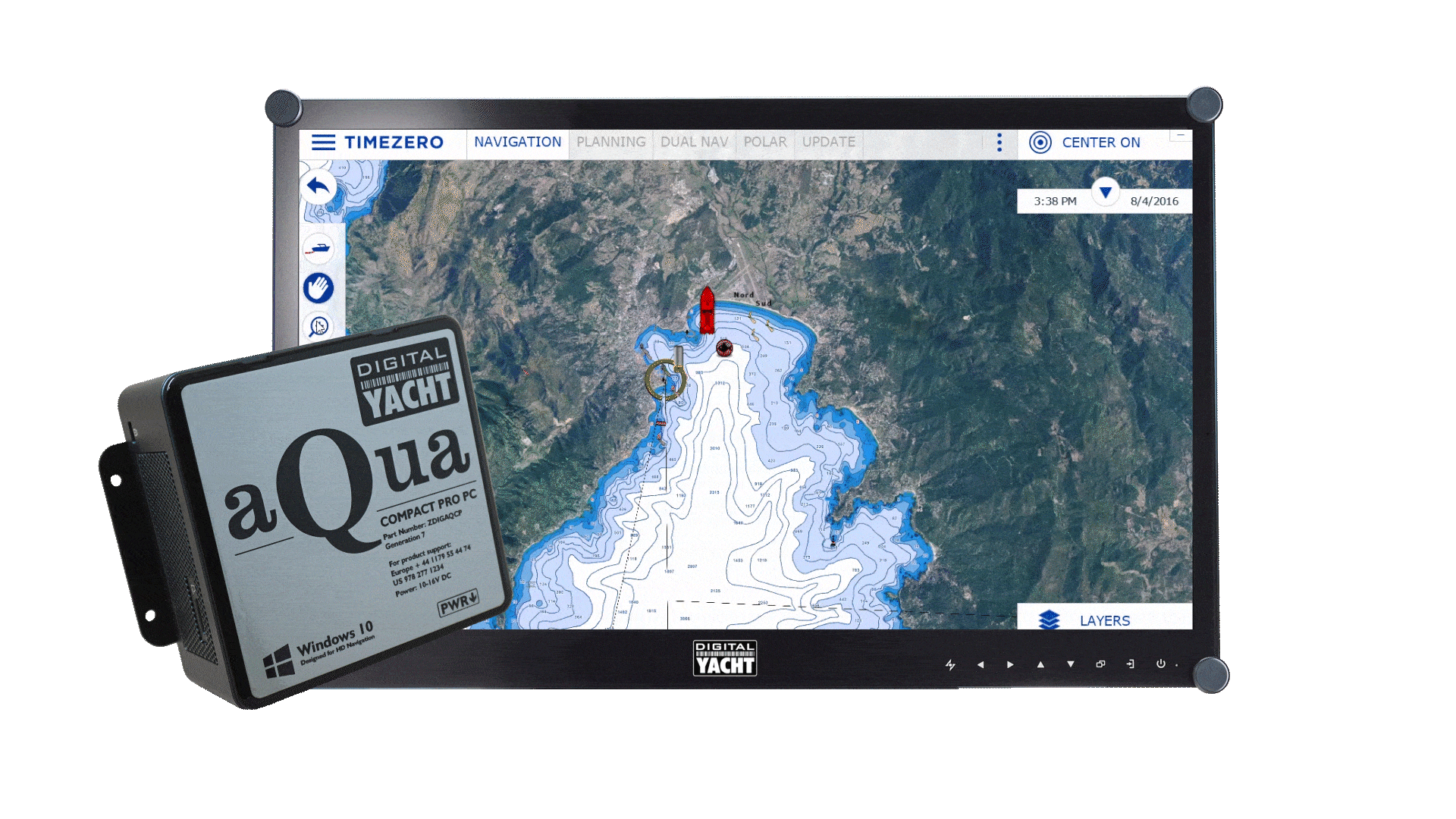
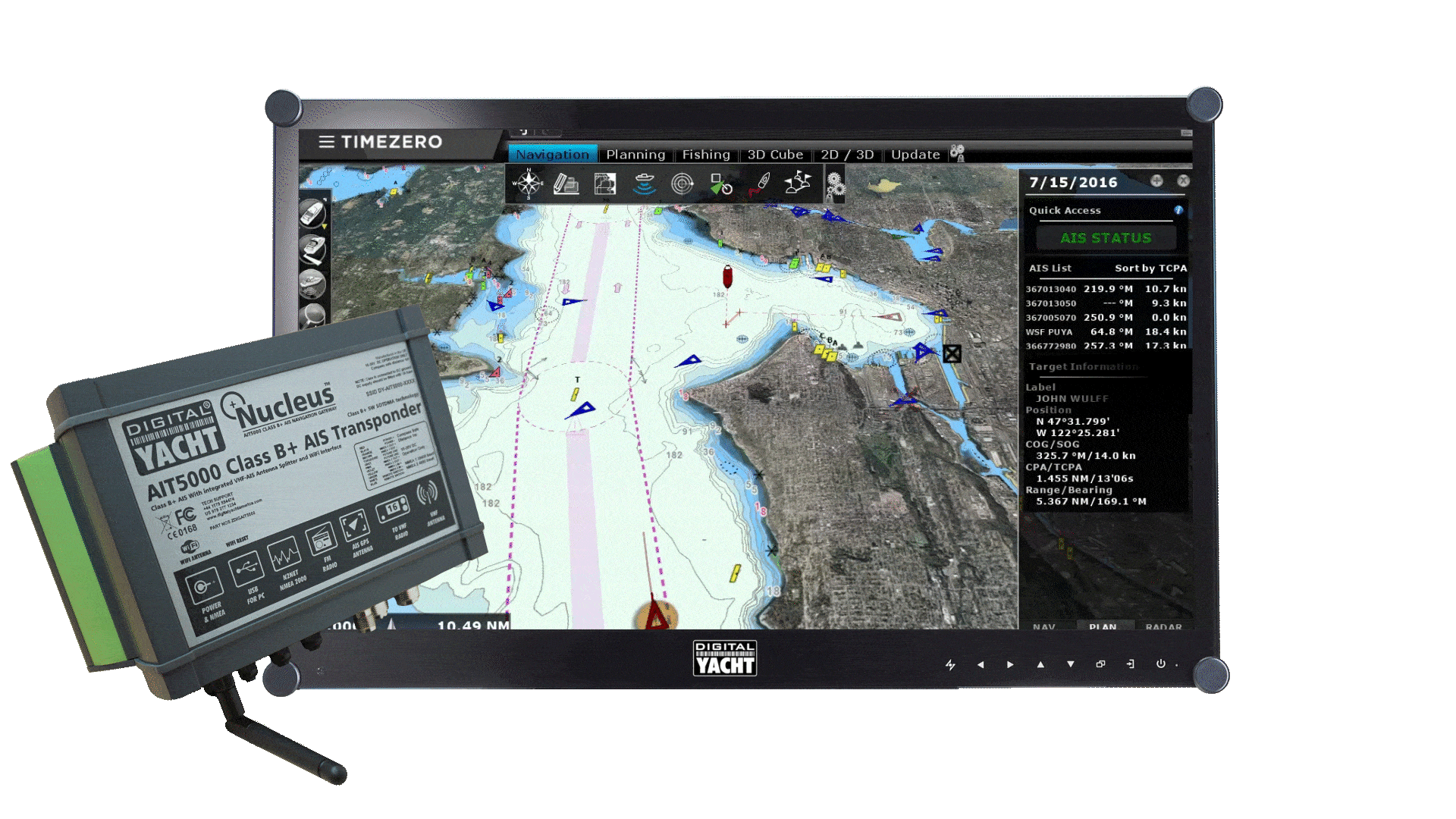
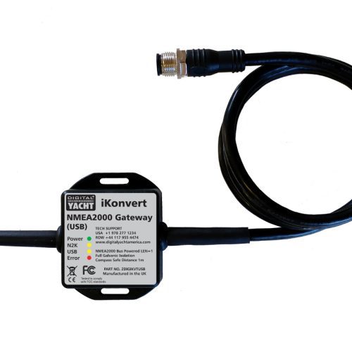
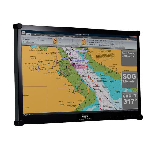
Timezero sets the standard for reliability and control in commercial maritime operations. Digital Yacht’s range of marine PCs and NMEA converters are the top hardware solutions to pair with Timezero Professional. It is ideal for use with our Aqua Compact Pro Plus PC and our range of HD marine monitor.
It’s fully compatible with Windows 10 & 11 and also with our iKonvert USB-NMEA 2000 gateway, USB-NMEA 0183 adaptor and NavLink2 wireless gateways if you want to receive all your NMEA data on the Timezero Professional software.