Home » Shop » Latest products » GPS160 Wireless

GPS160 Wireless

£288.00

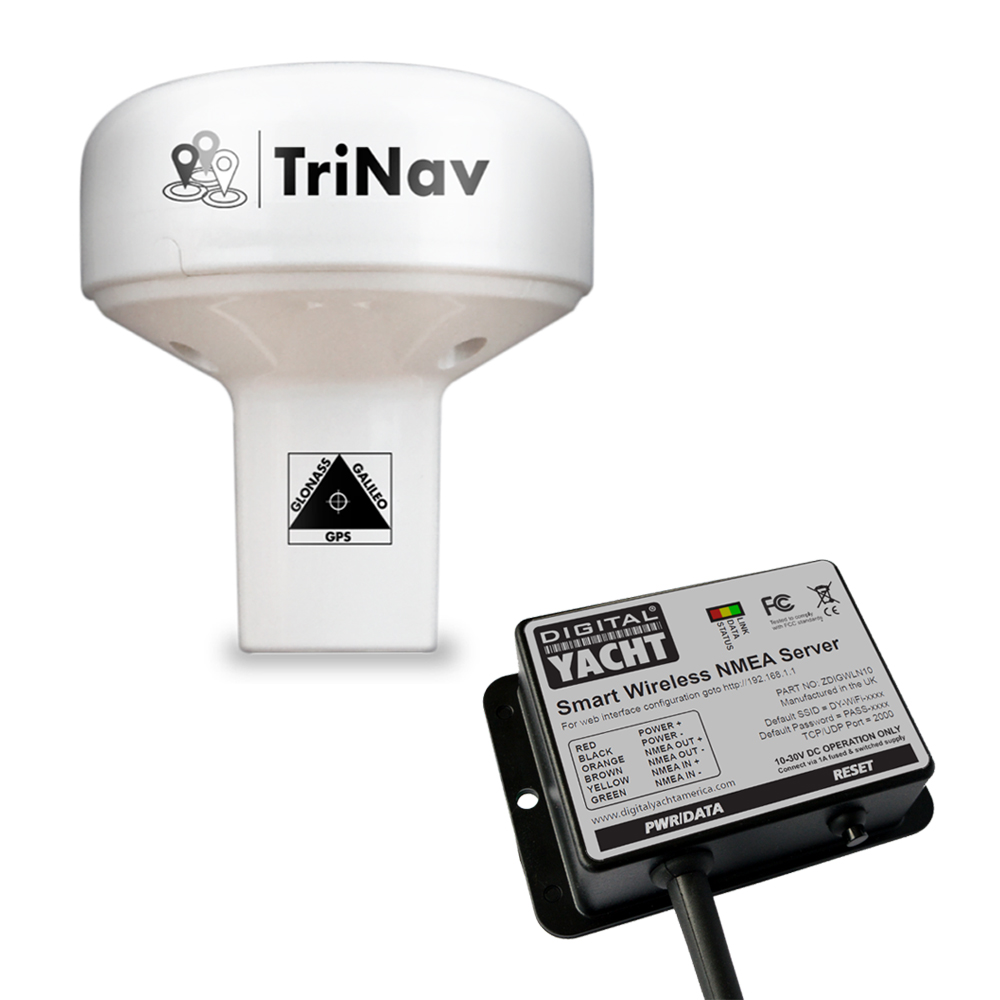
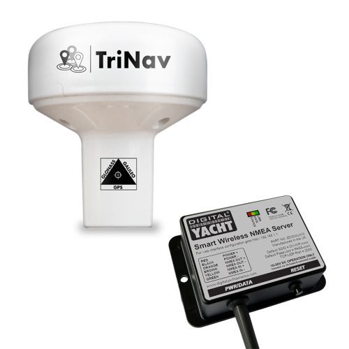
“The GPS160 wireless GPS antenna version is supplied with Digital Yacht NMEA to WiFi gateway for wireless navigation with tablets and iPads.”

SKU: ZDIGGPS160WL Categories: , , Tags: ,
Description

KEY FEATURES

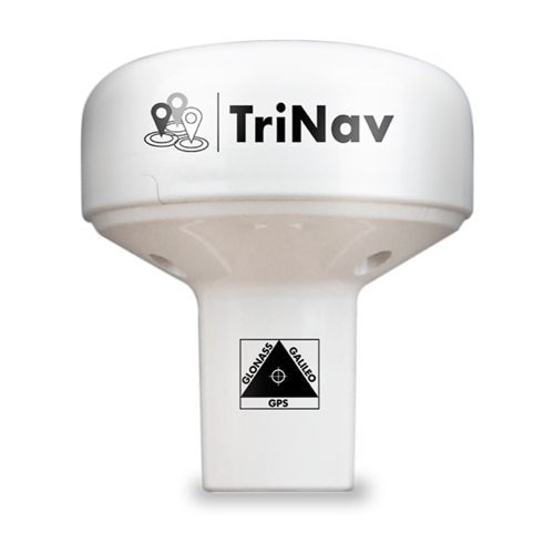
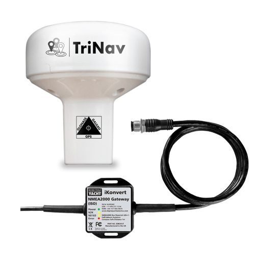
Digital Yacht have unveiled their TriNav™ GPS160, a GPS antenna with NMEA 0183. This is a new, high performance positioning sensor using GPS, Glonass and the new Galileo satellite systems. Therefore, providing exceptional position accuracy and redundancy. Typical accuracy is better than 1m. Data can also be set to output at up to 18Hz for smoother plotter track displays. TriNav™ software technology also improves positioning inaccuracy that could occur through spoofing and local interference.The GPS160 wireless GPS antenna model features the GPS160 GPS antenna with Digital Yachts NMEA to WiFi gateway.

The device has a variety of modes through field programming. This includes single GNSS operation (eg Galileo only) as well as output configurations such as update rate, NMEA sentence structure etc.

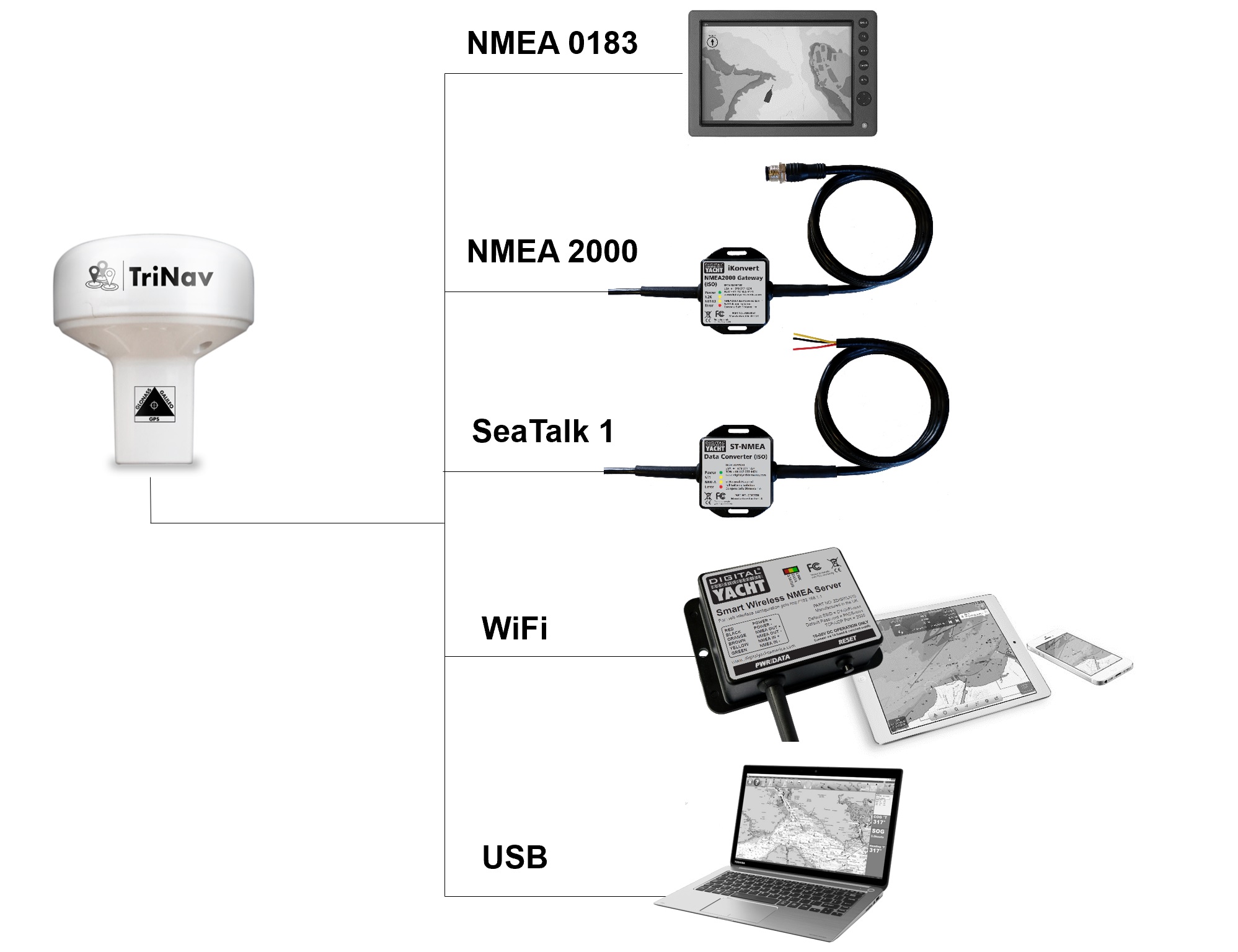
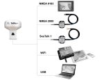
The GPS160 wireless GPS antenna version is supplied with Digital Yacht NMEA to WiFi gateway for wireless navigation with tablets and iPads. The NMEA to WiFi gateway creates a secure, password protected wifi network on board to footprint the boat with data. It supports both UDP (for multiple connections) and TCP/IP interfaces for maximum compatibility with apps so you can be using a PC at the chart table with an iPad on deck.

The GPS160 also supports a simple external MOB (man-over-board) switch or device. When triggered, the GPS160 creates a “synthesised” AIS SART MOB message on its NMEA output. This can then interface with a local plotter to identify the MOB. Most modern plotters support this with a clear MOB icon. As well as instant bearing and distance data to navigate to the casualty.

To learn how to wire the GPS16o to your navigation system click here

Galileo

Galileo is the new global navigation satellite system (GNSS) that has been in development over the past two decades. It joins the GPS and GLONASS systems and offers mariners a 3rd reliable positioning source. It is now fully operational as of 2020.

There are currently 22 satellites in usable condition. This means the satellite is working and adds to the service provision. There are then 2 satellites that are in “testing” and 2 more are marked as not available. The final constellation now consists of 30 satellites (24 operational and 6 spares) as of 2020.

October 2023 – New Features:  All GPS160 models now feature a new GNSS engine that supports QuadNav technology. These models now support the Chinese Beidou satellites (as well as GPS, Glonas and Galileo), which means all position fixes, course and speed over ground calculations will now be utilising the strongest satellite signals from a network of over 100 satellites.  This results in improved time to first fix, more robust operation against jamming, “spoofing” and outages and also improved current consumption (<25mA)

Additionally, you can download the full info pack by clicking here.

SPECIFICATIONS

  • 72 channel GPS, Glonass , Beidou and Galileo GNSS positioning receiver
  • Supplied with Digital Yacht Smart WLN10 NMEA to WiFi gateway for tablet navigation
  • Supports both UDP (for multiple connections) and TCP/IP interfaces
  • Set baud rate, SSID and password through Smart WLN10 web interface
  • Typically sub 1m accuracy thanks to QuadNav™ technology –combines all satellite data for optimum accuracy
  • Can be configured as dedicated GPS, Glonass, Beidou or Galileo only device
  • Refined anti-spoofing algorithm for robust performance of position and interference rejection
  • User/field can select 4800, 38400 and 115200 baud operation through simple internal DIP switches
  • Many formats of NMEA data output including datum information –user can configure through internal DIP switches
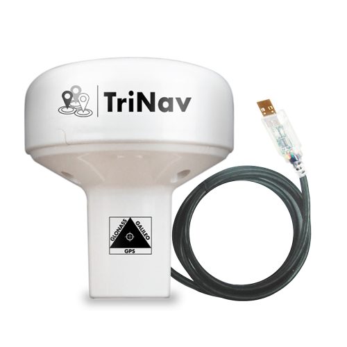
  • 10m cable
  • Up to 18Hz update rate (user can select)
  • Ultra low (<20mA) power consumption at 12V DC
  • Input for MOB switch/system –when activated generates synthetic AIS MOB NMEA output to activate MOB position on plotter
  • Efficent system (ECDIS) support with datum sentence structure (DTM/GBS/GNS/GRS/GSA/GST)
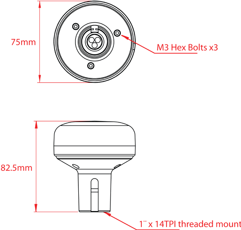
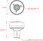
  • Puck installation or fits 3rd party industry standard 1” x 14TPI threaded mount
Additional information
Weight 520 g
Dimensions 245 × 165 × 100 mm
Manual and Downloads

GPS160 Quick Start Guide V2_00 (sold from 1st October 2023) 1.17 MB

V2.00 manual is applicable to all GPS160 “QuadNav” units sold from 1st October 2023.

GPS160 Quick Start Guide V1.01 1.15 MB

Latest Quick Start Guide for GPS160 NMEA 0183 (ISO) Version

what inside box

  • 10m cable
  • Smart WLN10
  • Product Video